
About 2 pm my "tour" began, We headed east on Market Street until we came to the base of Fort Mackinac. We turned left and ascended Fort Street, a.k.a. "Killer Hill". I had heard them refer to Killer Hill several times in the past, I was about to experience it firsthand. Whew, it was a mighty sleep climb!

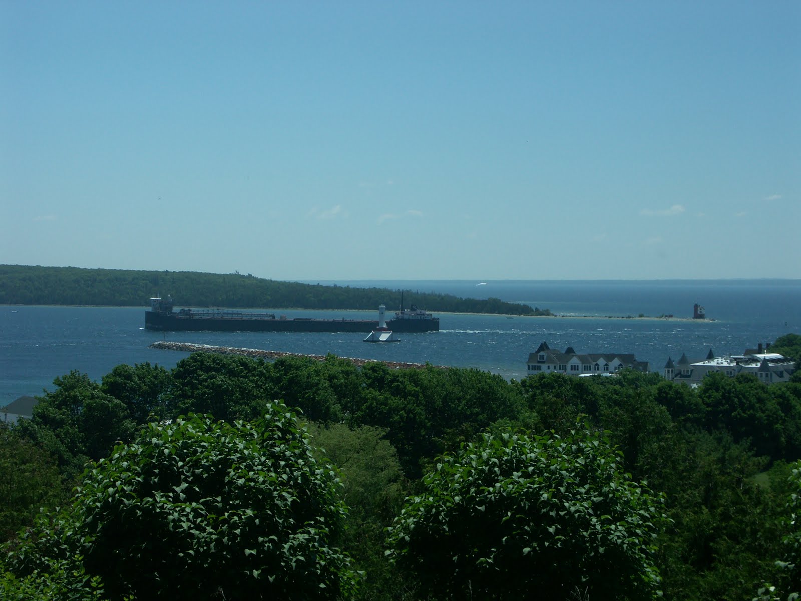
On flat ground, and above the city, we had a great view of a freighter passing in the shipping channel with seemingly tiny Round Island Lighthouse to the far right!


In regards to transportation, there are no motorized vehicles allowed on the island (except for ambulance, police and fire vehicles). So, 500 or so year-round residents primarily get from place to place by walking, biking or horseback. The option for horse-drawn carriage is used primarily by visitors on tours or as a taxi service.

By the time we had reached the Scout Barracks,
the Boy Scouts were in formation outside
presumably receiving instructions for the week.
 The hike continued down, I believe, Rock Trail. We prefered the dirt nature trails over the
 pavement any day! And we were rewarded
by a somewhat large "garden" of
Yellow Large Ladies' Slippers!
The trail continued until we arrived at one of the
more visited locations on the island, Arch Rock.
Once upon a time, this was a complete wall of
limestone. However thousands of years of
 wave action from the ancient Lake Algonquin, whose level was much higher than present day, eroded the soft limestone.
 However, Indian folklore tells the tale of a
Chippewa Chief's daughter who falls madly in
love with an immortal. So, her father took her to
the Island of The Great Turtle (Mackinac Island)
and placed her atop a cliff and refused to bring
her home until she agreed to marry a mortal.
She refused to comply with her father's orders and
wept continuously, eventually washing away
the ground beneath her forming Arch Rock.

A view of Lake Shore Road and Lake Huron
from Arch Rock.

I'm not quite sure what this unusual bloom was
but found its color and structure rather interesting.

 One of the three cemeteries on Mackinac Island,
 St.Anne's. To secure burial in this location, you
must either have been born on the Island, or
resided here for 15 years.

Cemetery. The oldest on the Island, it contains 108 graves,mainly those of soldiers that were stationed at Fort Mackinac, family members of those buried here and a hand full of civilians who lived on the Island.


No comments:
Post a Comment