Saturday, July 23, 2011

Au Sable Light Station

 Our very rainy 1.5 mile trek to the Au Sable Light Station began where Hurricane River empties into Lake Superior. These nice ladies pointed us in the right direction to find the trail and suggested a beach walk for a while.
 Since the sand was quite wet, it did make for easy walking. But by this time it was nearly 11 am and was still quite foggy! I would expect that on a clear day it would have been quite scenic!
 So, we opted to head back to the trail in the forest to see what we could find there. There was green everywhere but every once in a while I would find a tiny spot of color like this delicate Twinflower of the Honeysuckle family!
I spotted quite a bit of Canadian Dogwood all through the very shady trail, which actually helped to shade us from a great deal of the raindrops!

Occasionally, there would be a break in the
treeline and you could peer out onto Lake Superior, I paused to check the conditions,  yep, still foggy!

Found a large patch of one of my favorites, Prickly Rose!

 About every 1/4 mile we came across a natural drain where water from above was flowing, rather quickly, downhill. No one had thought to bring boots, including me, so navigating across these little rivers proved to be a little tricky in order to keep everyone's feet dry!
Our first glimpse of the Au Sable Light!

 Completed August 19, 1984, the 87 foot tall lighthouse was considered to be one of the most remote light stations in mainland America. I know what your thinking, if it took me 1.5 miles to walk it, why is it considered remote?? Well, a century ago there were no roads in this part of Michigan. The closest town was Grand Marais, 12 miles to the east. Provisions and transportation was only by means of Lake Superior. It was quite a lonely life up here, having little contact with the outside world except from visits from the Coast Guard resupply boat, rare trips to Grand Marais, and of course, rescuing crew of floundering ships.

After climbing the 98 steps to the top I was pretty disappointed that I could only see about 40 feet out into the lake. The guide however did point out an interesting feature in the water below! Looking down onto the sandstone of the lake bed, you could see the dark lines where eons ago glaciers had scoured the bottom of the lakebed!
 The view from the top of the light looking northeast out into Lake Superior in the direction of Grand Marais. I suppose on a clear day, it may actually be visible. At the end of the point, the fog horn station. No, it didn't go off when we were there.
 On the hike back to Hurricane River we found some remains of the 272 foot Sitka, a shipwreck from October 4, 1904! Over a century ago!
 Scattered all over the beach were thousands of pretty rocks! Oh how I longed to pick these up and take them home, especially the round speckled red one! But...NPS frowns upon that and I really didn't want to go to jail, or worse yet, be banned from national parks! I would have to pick up rocks later from a public beach somewhere.


Back into the forest, near the end, I
spotted something pick a few feet
back into the forest! A Pink Lady's
Slipper! A friend of mine recently
found some in Wisconsin and sent a
 photo, I knew immediately what it
was! I was definitely excited to find
this rare orchid on my rainy hike!


Nearby, I also found some Indian Pipe
 beginning to sprout up!
Yes, everyone was a bit damp, but as you can see by the smiles, everyone was still having fun despite the rain!
As we neared the parking lot, I spotted
 this trail marker, I was unaware that
 we had been hiking on the North Country Scenic Trail!

Friday, July 22, 2011

Pictured Rocks National Lakeshore...Sable Falls and Log Slide

 Thursday June 23rd we awoke to a very overcast day that alternated between misty, sprinkles of rain and steady rain. Fog was ever present for the entire day! After checking in at the visitor center in Grand Marais to get information, we decided to dodge the raindrops and take a short 1/2 to 3/4 mile hike to Sable Falls. What better time to view a waterfall than when its being fed!

We continued to follow the stream for a while, but the raindrops came back with a vengeance, and we decided to backtrack to the car.
Here's my first attempt at putting a video on my blog, hope you can see and hear Sable Falls just as I did!


 But, I did stop to admire these pretty Forget-Me-Nots!
 Moving on down the road, we stopped again for another mini-hike at the Log Slide. Decades ago, loggers would harvest trees and, in the winter, have horse teams pull large loads of logs up this sand dune. The logs would then be unloaded and rolled downhill to Lake Superior where they would have been floated downstream.
Obviously we weren't the first ones here this morning!

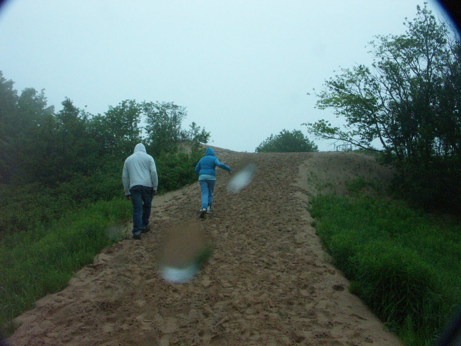
Mike and Alyssa charging up the Log Slide in the wet sand.

 We were poking around at the top and I found some prints...I didn't have my cheat sheet for animal tracks (nor a ruler) but this one was bigger than a 4x6 photo, but not as big as my journal. Its hard to see in the photo, it was easier to see the detail in person, perhaps possibly a rear black bear print...I spotted a ranger and inquired of the nature of the print and he seemed to agree.
 Several yards away, I spotted this track. Dogs are not allowed here and the tracks led off into the woods. Perhaps a coyote??
Here we are looking down the
 other side of the Log Slide where the timber would have been rolled down to Lake Superior. We really wanted to go down and check that out, however there were several signs warning against such action. Apparently, walking UP such a sand dune is nearly  impossible and many rescues/injuries/heart attacks happen here somewhat regularly.  We really didn't want vacation to end on the second day so we decided against
 that one!

A few days later by Whitefish Point we saw one of the carts that were used to pull the logs to the log slides!


On the 1/2 mile trek back to the car I stumbled on this felled tree and was quite amused at the shape of its trunk! I'm not sure what kind it was, but interesting just the same!

Tuesday, July 19, 2011

Vacation Day 1: Super Spooky Mackinac Bridge & Seney Wildlife Refuge

After a night of horrible storms, I, along with cousins Mike and Alyssa, left for 5 days of fun in the Upper Peninsula of Michigan on Wednesday, June 22. We finally hit the road about 10am  as I wanted to stay ahead of the next (even worse) round of storms expected that afternoon. The sky that morning and early afternoon was quite bleak, very overcast and occasionally little spits of raindrops. Traffic flowed quite nicely and everyone enjoyed playing our favorite car game, "Rubberneckers", its a card game based on getting points for spotting things such as a smokestack, certain licence plates, swimming pools, bikes,etc. It's really pretty fun, especially when you have to make gestures, like thumbs up or ok sign, at other cars and get them to acknowledge you....so if you see a car full of folks trying to get your attention while making odd gestures...please, wave at them or do the gesture back....we're not weird, just having fun! Just so you know, I don't hold my own cards while driving...I just act as a "helper" to the player in the front seat...trying to spot items for them.

The trip was just going ducky, and even though I was pretty sure I conquered my fear of driving on the Mackinac Bridge last year, I had made up my mind that if the weather was severe, I would pull off at the exit and call for an escort (a really nice local person who will drive your car across the big scary bridge for you). But, the weather SEEMED acceptable, no rain or strong winds. So, I figured it would be a pleasant, but cloudy ride to St. Ignace. As soon as we passed the point of no return, I saw the sign about poor weather conditions on the bridge that were being monitored. Uh oh. So I turned the radio onto the "bridge station" as they warned of unusual wind currents and dense fog in the Straits of Mackinac and that they were closely monitoring the situation from multiple points along the bridge. Really, I had NO indication prior to this that I was in for a 5 mile white-knuckle drive!

Mike was in the front seat and held my camera and decided to document our 5 mile drive of....well, for me terror, for them..well, they didn't seem to upset about it, but the car was PRETTY QUIET , except for my hyperventilating and occasional muttering certain words that I will not repeat here! So normally at this point, you have a glorious view of the magnificent suspension bridge connecting the Upper and Lower Peninsulas of Michigan.....Looks like just another foggy road...so I figured I would DEFINITELY choose the inside lane, farther from the edge.... 

I can honestly say, that in all my
 years of going up north as a child,
 even in November, I have NEVER
 seen the bridge like this!
It was sooooo spooky!

 Signs were posted, and the radio warned, not to exceed 20 mph!
 Well, not too long after starting across, I realized that the inner lane has grating, not solid pavement. The wind currents were coming up through those grates and causing my Durango to actually "wiggle" and sway! I REALLY did NOT like what those winds were doing to my vehicle! So, I VERY cautiously eased into the outside lane where there was normal pavement! Visibility was maybe only 3 or 4 car lengths at best, and the kids did comment that they couldn't even see the water only a few hundred feet below! To say that I was quite relieved when we reached St. Ignace is an understatement!

We stopped at a few turnouts on Hwy. 2, it was mid-afternoon but we could hardly see a thing. But it was a good leg-stretcher nonetheless. I felt sorry for the freighter I spotted out in Lake Michigan. How eerie for them as well.  
Finally, about 5pm we reached Seney National Wildlife Refuge. I had planned on stopping here last year on my way to Isle Royale, but a late start put the kibosh on that. We checked out the visitor center, normally closed it was open late because it was Wildlife Wednesday! In another hour and a half, they would load up a bus, and take folks on a 2 & 1/2 hour foray deep into the heart of Seney NWR that cars (and most people) simply are not allowed! We thought about this, but we still had to travel to Grand Marais and I was reminded that we had picked up perishables nearly 2 hours ago, that were in the cooler. So, we wisely declined, but did choose to do the 7 mile auto route through the refuge.


There was a nice short hiking trail just beyond the parking lot, and a family of  Canadian geese seemed to be leading us down the trail!

When they reached their departing point,
 we also decided to head back to the safety of the car....we were being eaten alive my mosquitoes and the insect repellent was packed away!


Driving along the wooded paths, we didn't see too many mammals....a few chipmunks and we did spot a few muskrats swimming.
We mainly saw birds! Which was quite a delight to me! we had to stop the car while we had a "standoff" with these two Sandhill Cranes! After about 5 minutes of them going nowhere, I gently eased the car up a few feet, that resulted in a GREAT deal of squawking from them, I definitely had invaded their territory! But being a one way street, I had no option, they eventually flew off.

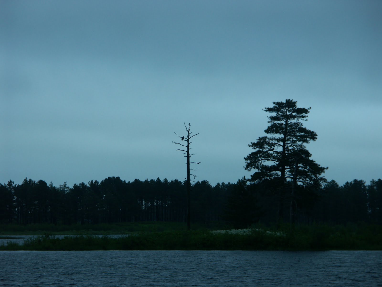
We saw dozens and dozens of loons! I was hoping one would "speak" to us, so that Mike and Alyssa could hear their lonely call, but no luck on that one. We were also fortunate enough to see several nesting Trumpeter Swans, Ring Necked  Ducks, a Northern Flicker, an Osprey and even a Bald Eagle sitting on the top left branch of a dead tree near its' nest!
 
It was just after 8 pm and we really had to get on the road! Not 5 miles out of the refuge, I see a car heading south pulled over and the occupants looking deep into the woods. This can only mean 1 thing...something interesting. So, I backed up and inquired as to the nature of their excitedness.....a black bear had JUST sauntered across the road, right in front of them! I scanned the thick brush for movement or noise, but no suck luck. It was a "nature moment" that they will treasure forever! I just wished I had got there to see it too!

Wednesday, July 13, 2011

Montezuma Well

 Less than an half-hours drive from Montezuma Castle is another dwelling, albeit much less preserved, called Montezuma Well. The well itself is a natural, spring-fed sinkhole surrounded by limestone cliffs. It measures 368 feet across and 55 feet deep and is kept at a constant 74 degrees by warm springs flowing up to the surface. They says that 1.5 MILLION gallons of water flow up every day....no wonder there were so many ducks in the water and this is a MAJOR wildlife habitat! The water flows out through a side cave to a lovely winding irrigation ditch (but its much nicer than a "ditch" constructed almost 1000 years ago by the Sinaguans.
 Although natives had been using this area as a stop-over for (they say) 9000 years, the first permanent dwelling was built around 1200 A.D. and was vacant by mid-1400's as were the other settlements in the Verde Valley.They feel this one was home to perhaps 150-200 Sinaguans.
 The landscape was absolutely breathtaking! Oh, how I longed to spend the better part of a day here with my binoculars hiking, looking for birds and other critters! Unfortunately, we arrived shortly after 4:30 and the NPS ranger made us leave by 5pm....and it was our last day ;(  I will definitely revisit this gem in the future and make sure I have a few hours here!!!
 Here's the backside of the "well" and where the water flows out. Now I'm pretty sure this lovely walkway was improved or constructed by the NPS, but I was terribly disappointed that I only had 5-10 minutes max to explore this area!
Beautiful trees were everywhere, the
 water  was clear, it was warm, and birds were chirping and red-tail hawks flew overhead.....it just doesn't get much better than this!
I though about "hiding" from the ranger in order to stay a little longer....but...the law-abiding part of me said "rules are rules...you can always come back". And that I definitely will!
One last look........

Montezuma Castle

 Set in a deep alcove of a limestone cliff is a five story dwelling which the Sinaguan people called home from about 1200 to about 1450 A.D. Standing about 100 feet above Beaver Creek, it is considered to be one of the best preserved cliff dwellings in the U.S. I'm not sure quite why I was more impressed with this over Tuzigoot or Palatki, maybe because this one was better preserved or seemingly larger, but it was a sight to behold! Access was by multiple ladders each taking you up one level (well in those days, they certainly weren't going to allow me to climb a ladder and be nosy!).  
 The castle boasts 19 rooms and would have housed about 35 to 50 people.

To the left of the castle was the remains  of Castle "A". This dwelling was quite  a bit larger with 45 rooms housing about  100 people. Unfortunately, a fire was determined to have broken out when it was occupied, destroying most of the dwelling. These large rooms had sycamore support beams and those, no doubt,  would have helped the fire spread quickly. Some new inhabitants have moved in, I saw hundreds of nests of cliff swallows in the area!

 Here's the base of the large and colorful
 Arizona Sycamore tree. Reaching heights
of about 80 feet, with a large canopy,
they are a VERY sturdy tree and
continue to grow and thrive about 200
years! I'm not sure how old this one
was, but I was indeed impressed!

Seed pod of the sycamore tree! It looked spiny and I really, really wanted to touch it...but unfortunately, it hung quite a bit over my head.